Loading the latest readings for Ogunquit Beach…
Current conditions
Water temperature
Rip current risk
Checking rip current risk…
Active alerts
Tide information
Loading tide predictions…
Sun & moon
7-day beach forecast
Loading forecast…
Ogunquit Beach essentials
Parking
5 public lots nearby, closest 0.1 mi away, 3 marked paid
Restrooms
Public restrooms 0.2 mi away
Showers
Outdoor showers 0.2 mi away
Lifeguards
Lifeguards 10am–5pm daily from about June 20 to Labor Day, plus shoulder-season coverage when staffing and weather allow
Drinking water
1 water fountain nearby
Food & drink
8 restaurants, cafés & bars nearby
Rules and fees checked against townofogunquit.org. Other amenities were mapped by volunteers on OpenStreetMap within about ¾ mile of the beach. Rules, fees and lifeguard hours change by season, so check posted signs. Updated September 2026. Data © OpenStreetMap contributors. Something missing? Add it on OpenStreetMap
Beach Report is an informational guide from public data, not a substitute for lifeguards or official National Weather Service warnings. Always check posted signs and swim near a lifeguard.
About Ogunquit Beach
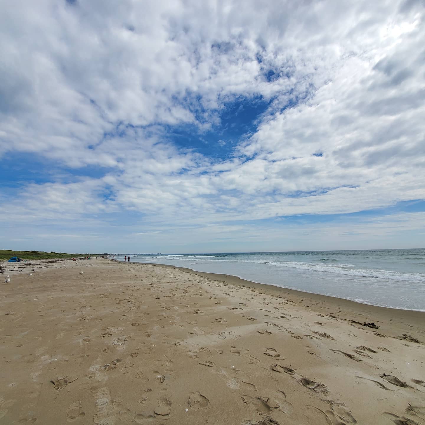
Ogunquit — an Abenaki name meaning 'beautiful place by the sea' — is a beloved southern-Maine art colony known for its three-mile beach and the Marginal Way, a scenic cliff-top footpath to the harbor at Perkins Cove. Welcoming and picturesque, it blends a wide sandy shore with galleries and gardens. Maine’s water is very cold — typically the mid-50s to low 60s°F even at the August peak, and colder the rest of the year. Check the safety flag and rip-current risk above, be ready for cold water, and swim near a lifeguard.
Ogunquit Beach FAQ
When is the best time to visit Ogunquit?
July and August for the warmest water and full season; late spring and early fall are quieter, and the Marginal Way is lovely year-round.
What is the Marginal Way in Ogunquit?
A scenic 1.25-mile paved cliff-top path along the ocean between Ogunquit Beach and Perkins Cove. For beach conditions, check the live safety flag above.
How cold is the water at Ogunquit?
Cold — typically the mid-50s to low 60s°F at the summer peak. See the live reading above.
Nearby beaches
Get Ogunquit Beach in your pocket
Beach Report is free on iPhone and Android — live conditions, safety alerts and your favorite beaches.